
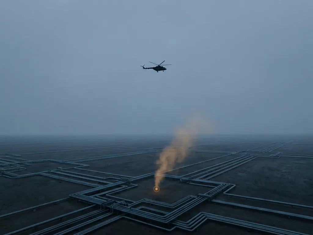
Methane leak detection has moved from a best-practice recommendation to a legal obligation for gas operators across Europe. With the EU Methane Regulation now in force and the first compliance deadlines already passed, choosing the right detection method is no longer just a technical decision. It is a regulatory, financial, and environmental one. This guide breaks down the most effective methane leak detection methods available in 2026, how they compare for real-world pipeline inspections, and what gas operators should prioritise when selecting a service.
What is methane leak detection and why does it matter in 2026?
Methane leak detection is the process of identifying unintended releases of methane gas from pipelines, compressor stations, storage tanks, and other gas infrastructure. Methane is a potent greenhouse gas, and even small, undetected leaks contribute significantly to climate impact over time. For pipeline operators, leaks also represent direct product loss and, increasingly, a legal liability.
In 2026, the stakes are higher than ever. The EU Methane Regulation (Regulation EU 2024/1787) entered into force in August 2024 as part of the European Union’s „Fit for 55“ climate package. It is the first EU legislation specifically targeting direct methane emissions from the oil, gas, and coal sectors. Operators were required to establish a Leak Detection and Repair (LDAR) plan and complete their first Type-2 LDAR survey by August 2025. All identified leaks must be recorded regardless of size, and records must be retained for at least ten years. By 2028, all EU assets must reach OGMP 2.0 Level 5 compliance. The regulatory calendar is moving fast, and the choice of detection method directly determines how operators meet these obligations.
What are the main types of methane leak detection methods?
Several methane detection technologies are currently in use across the gas industry, each suited to different operational contexts, network sizes, and sensitivity requirements.
- Handheld and walking surveys: Technicians carry portable flame ionisation detectors or catalytic sensors along a pipeline route on foot. These are low-cost and widely used but extremely slow for large networks and limited in sensitivity.
- Vehicle-based surveys: Sensors mounted on road vehicles can cover more ground than walking surveys. They work well on road-accessible routes but cannot survey pipelines in remote or rural areas effectively.
- Optical Gas Imaging (OGI) cameras: Infrared cameras make gas clouds visible to operators. OGI is well suited to above-ground components and compressor stations. Under the EU Methane Regulation, OGI-class equipment typically qualifies for Type-1 inspections, which require detection of 17 g/h or 7,000 ppm local concentration.
- Drone-based sensors: Unmanned aerial vehicles equipped with methane sensors are an emerging option for shorter routes and targeted inspections. Coverage speed and sensor sensitivity vary widely depending on the platform and payload.
- Airborne LIDAR systems: Helicopter-mounted laser-based systems offer the highest combination of survey speed, coverage area, and detection sensitivity. These systems are designed for large-scale pipeline network screening and are capable of meeting Type-2 inspection thresholds under the EU Methane Regulation.
The EU Methane Regulation creates a clear two-tier structure. Type-1 inspections require a detection limit of 17 g/h or 7,000 ppm. Type-2 inspections require a more demanding threshold of 5 g/h or 1,000 ppm. Because Type-2 inspections use more sensitive technology, underground pipelines inspected at this level only need to be surveyed once every three years, giving operators a direct economic incentive to invest in higher-sensitivity methods.
How does airborne LIDAR methane detection work?
Airborne LIDAR methane detection uses laser pulses to measure methane concentrations in the air column between the aircraft and the ground. The technique most commonly used for pipeline inspection is Differential Absorption LIDAR, or DIAL. The system emits two laser pulses at slightly different wavelengths. One wavelength is absorbed strongly by methane; the other is not. By comparing the return signals, the system calculates the concentration of methane along the laser path with very high precision.
A helicopter carrying a DIAL system flies at low altitude, typically between 100 and 150 metres above ground, at speeds that allow continuous, high-density measurement across the full width of the pipeline corridor. The laser fires thousands of times per second, building a dense grid of measurement points that covers the ground on both sides of the pipeline, not just directly above it.
This grid coverage matters enormously for underground pipelines. Research by the Methane Emissions Technology Evaluation Center (METEC) and the Engler-Bunte Institute has shown that gas escaping from underground leaks does not always emerge directly above the pipe. Depending on soil structure, the gas migrates laterally underground before reaching the surface, meaning the plume can appear several metres away from the pipeline centreline. A detection system that only measures along a single line above the pipe will miss these displaced plumes entirely. Reliable detection requires a scan swath of at least 10 metres on either side of the pipeline, with spatial resolution better than 2 metres per measurement point.
For a detection threshold of 1,000 ppm to be reliably met under all wind and flight conditions, the per-point sensitivity of the system must be at least three times better than that threshold, meaning the instrument must be capable of detecting concentrations well below 300 ppm at ground level. This is the physical basis for the certification standards that rigorous third-party bodies now apply to aerial inspection systems.
Which methane detection method is most accurate for pipeline inspections?
For large-scale underground pipeline inspections, airborne LIDAR using the DIAL method currently offers the highest combination of sensitivity, coverage, and independent verification. The key performance factors that determine accuracy in a real pipeline inspection context are:
- Per-point detection limit: How small a methane concentration can the system detect at each individual measurement point? The lower this number, the more reliable the detection of genuine leaks against background noise.
- Scan swath width and spatial resolution: Does the system cover a wide enough corridor, and are measurement points dense enough to catch laterally displaced plumes from underground leaks?
- Surface sensitivity verification: Has the system been independently tested to confirm it reliably detects a defined ground-level concentration, such as 300 ppm, across a small area under all certified operating conditions?
- Third-party certification: Has the system been assessed against a recognised technical standard by an independent body? Certification under a standard such as DVGW G465-4-5 provides objective evidence that the system meets the requirements of „best available technology“ as required by Article 14(7) of the EU Methane Regulation until the Implementing Act is finalised.
On-foot and vehicle-based surveys, while valuable for targeted follow-up, cannot match the coverage speed or the consistent grid density of a properly designed airborne system for screening hundreds of kilometres of pipeline. OGI cameras are excellent for above-ground components but are not designed for underground pipeline screening at the scale required by modern transmission networks.
How do ground-based and airborne surveys compare for large pipeline networks?
The practical differences between ground-based and airborne surveys become most apparent when operators are managing networks of hundreds or thousands of kilometres. Ground-based walking surveys covering a single kilometre of pipeline can take hours, depending on terrain, access, and weather. An airborne system covering the same kilometre takes seconds. For a transmission system operator responsible for thousands of kilometres of underground pipeline, the time and cost difference is substantial.
Ground-based surveys also face access limitations. Pipelines often cross farmland, forests, rivers, and private property where a walking technician cannot easily travel. Airborne systems are unaffected by these obstacles, following the pipeline corridor regardless of what lies beneath.
However, ground-based surveys remain essential at Step 2 of the two-step LDAR methodology defined by the EU Methane Regulation. After an airborne survey identifies an anomaly at ground level (Step 1 surface screening), a ground team must excavate or drill a bar-hole to confirm the source and measure the emission rate directly (Step 2 source confirmation). The repair obligation under Article 14(8) is triggered at this second step, when the 1,000 ppm or 5 g/h threshold is confirmed at the source. The two approaches are therefore complementary rather than competing: airborne screening narrows the search area dramatically, and ground teams focus their effort only on the locations flagged by the aerial survey. This combination reduces the total length of pipeline requiring on-foot inspection to a small fraction of the full network. You can learn more about how this works in practice by visiting the ADLARES inspection services overview.
What should gas operators look for when choosing a leak detection service?
With several providers and technologies now available, selecting the right service requires more than comparing headline specifications. Operators should evaluate the following factors carefully:
- Regulatory compliance: Does the service meet Type-2 inspection requirements under the EU Methane Regulation? Is the technology certified under a recognised standard that satisfies the „best available technology“ requirement of Article 14(7)?
- Detection sensitivity and verification: What is the independently verified surface sensitivity of the system? Has this been confirmed by a third-party test body under defined conditions, not just stated by the provider?
- Scan coverage: Does the system produce a measurement grid covering the full pipeline corridor, or only a single line of points directly above the pipe? For underground pipelines, grid coverage is not optional.
- Survey speed and scalability: Can the service cover your full network within the required inspection interval? Faster survey speeds reduce mobilisation costs and allow larger networks to be completed within tight regulatory windows.
- Data delivery and usability: How are results delivered? Operators need georeferenced anomaly reports that can be acted on quickly. Access to results through a secure web-based GIS platform, accessible on both desktop and mobile, significantly reduces the time between survey and field response.
- Track record and experience: How many kilometres of pipeline has the provider inspected, and for which types of operators? Experience across different soil types, terrains, and regulatory environments matters for reliable results.
The Implementing Act under the EU Methane Regulation will eventually set specific detection thresholds and inspection intervals for aerial Stage 1 surveys. Until that act is adopted, the legal standard remains the use of best available technology as defined in Article 14(7). Choosing a provider whose technology already meets rigorous certification requirements positions operators well for whatever the Implementing Act ultimately specifies. Operators who want to understand the regulatory landscape in more detail can explore the background of the ADLARES team and technology.
How ADLARES helps with methane leak detection for pipeline operators
We are the leading provider of airborne methane leak detection services for gas pipeline operators in Europe. Our CHARM technology is the world’s only DVGW-certified aerial gas detection system, making it the benchmark for what „best available technology“ means in the context of the EU Methane Regulation. Here is what working with us looks like in practice:
- Type-2 compliant inspections: CHARM delivers per-point detection below 1 ppm·m and surface sensitivity independently verified at 300 ppm over a 2 by 2 metre area, meeting and exceeding the 1,000 ppm Type-2 threshold required by the EU Methane Regulation.
- Full-corridor grid scanning: Our system scans an adjustable swath of 10 to 30 metres, producing a dense grid of 1,000 measurement points per second that reliably captures laterally displaced plumes from underground leaks.
- High survey speed: With the helicopter operating at speeds up to 180 km/h at altitudes of 100 to 150 metres, we can cover large transmission networks efficiently within regulatory inspection windows.
- Secure web GIS delivery: Survey results are delivered through a secure web GIS platform, accessible on desktop and mobile, so your teams can verify findings and dispatch ground crews without delay.
- Proven scale: To date, we have inspected over 250,000 km of gas pipelines for grid operators across Europe, giving us deep experience across diverse terrains, soil types, and regulatory environments.
If you are preparing for your next LDAR survey cycle or need to confirm that your inspection programme meets the requirements of the EU Methane Regulation, we are ready to help. Explore our pipeline inspection services or get in touch with our team to discuss your network and inspection requirements.