
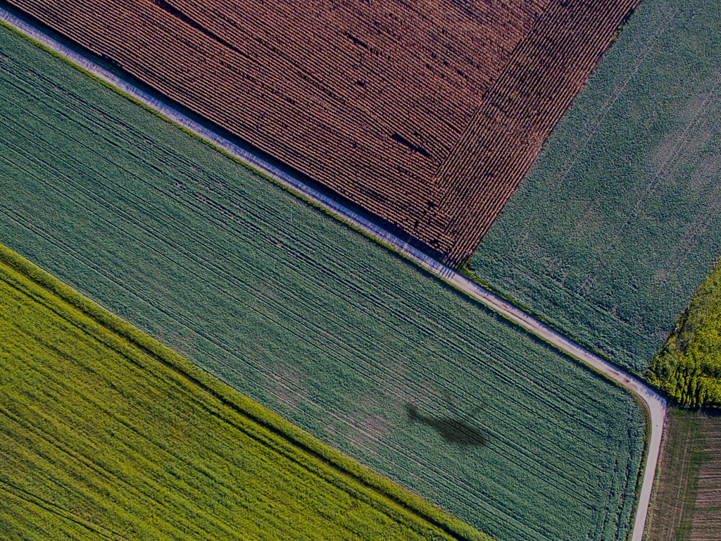
Methane hotspots are identified during aerial survey campaigns by detecting column-integrated methane concentrations above a defined threshold, then cross-referencing spatial position, wind data, and signal strength to confirm the source location. Prioritisation follows immediately after detection, ranking each hotspot by estimated emission rate, proximity to infrastructure, and regulatory significance. The sections below walk through each stage of the process in detail.
What makes a methane reading qualify as a hotspot?
A methane reading qualifies as a hotspot when the measured gas column concentration exceeds a statistically significant threshold above the ambient atmospheric background. This threshold accounts for natural variation in background methane levels, instrument noise, and wind conditions, ensuring that only genuine emission signals are flagged rather than measurement artefacts.
In practice, the designation depends on several intersecting factors. The sensor must record an elevated reading at multiple consecutive measurement points along the flight path, not just a single spike, which helps distinguish a real emission plume from a momentary anomaly. The spatial extent of the elevated signal matters too: a narrow, localised peak directly above a pipeline joint or valve cluster carries more diagnostic weight than a diffuse, wide-area elevation that could indicate a regional background shift.
Wind speed and direction at the time of the survey are factored in as well. A reading of a given concentration means something different at 5 km/h wind than at 20 km/h wind, because faster wind disperses the plume more rapidly and reduces the apparent concentration even when the source emission rate is high. Correcting for these meteorological conditions is essential to converting a raw concentration reading into a meaningful indicator of actual methane emissions.
How does DIAL technology pinpoint hotspot locations during a flight?
Differential Absorption LIDAR (DIAL) technology pinpoints hotspot locations by emitting two laser pulses at slightly different wavelengths simultaneously, one tuned to a methane absorption line and one set just off it. By comparing the backscattered return signals from both pulses, the system calculates the methane column density along the laser path with high spatial precision, independent of surface reflectivity or lighting conditions.
Because the laser pulses travel vertically downward from the aircraft to the ground and back, the measurement captures the full column of gas between the sensor and the surface. This means even underground pipeline leaks that have migrated upward through soil are detectable, not just surface-level releases. The helicopter typically flies at 100 to 150 metres altitude, and with a measuring rate of 1,000 points per second at speeds up to 180 km/h, the system builds a dense, continuous map of methane concentration across the survey corridor.
GPS positioning ties every measurement point to a precise geographic coordinate, so when an elevated reading appears, its location on the ground can be identified to within a few metres. This spatial accuracy is what transforms a concentration measurement into an actionable hotspot location that a maintenance team can navigate to directly.
What criteria are used to rank and prioritise hotspots after a survey?
After a survey, hotspots are ranked primarily by estimated emission rate, with higher-flow leaks receiving the most urgent attention. Secondary criteria include the type and age of the infrastructure at the source location, proximity to populated areas or sensitive environments, and whether the site falls under specific regulatory reporting obligations tied to methane emission quantification requirements.
The ranking process typically works through a tiered structure:
- Tier 1 (immediate action): High emission rates above the detection threshold at safety-critical assets such as compressor stations, pressure regulation points, or high-pressure transmission lines
- Tier 2 (scheduled repair): Moderate emission rates at distribution network components where the leak is confirmed but does not present an immediate safety risk
- Tier 3 (monitoring): Low-level indications that fall near the detection limit and require a follow-up survey or ground verification before a repair decision is made
Operators also factor in the regulatory context when setting priorities. Under the EU Methane Regulation 2024/1787, certain emission sources must be repaired within defined timeframes after detection. Sites that contribute disproportionately to the operator’s overall reported methane emission factors are moved up the priority list because addressing them has the greatest impact on annual compliance reporting.
How are hotspot results delivered and verified by operators?
Hotspot results are delivered through a secure Web GIS platform that displays all detected indications as georeferenced points on an interactive map, accessible on both desktop and mobile devices. Each hotspot entry includes the measured concentration value, the estimated emission rate, the flight path data, and the meteorological conditions recorded at the time of detection, giving operators everything they need to verify findings and plan follow-up actions.
Verification typically follows a two-step process. First, the operator’s technical team reviews the delivered data within the GIS platform, cross-checking hotspot locations against their asset register to confirm which specific component is the likely source. Second, a ground inspection team visits the flagged location to confirm the leak with a handheld or vehicle-mounted detector and to assess the repair priority in person.
For regulatory purposes, the aerial survey data serves as the independent third-party measurement required under the EU Methane Regulation, while the ground verification step provides the component-level attribution needed for LDAR reporting. Together, the two steps satisfy both the detection and the documentation requirements that regulators expect when operators report their methane emissions annually.
How does aerial hotspot detection compare to ground-based LDAR methods?
Aerial hotspot detection covers large areas at high speed, making it far more efficient than traditional ground-based Leak Detection and Repair (LDAR) methods for initial screening across extensive pipeline networks. Ground-based methods offer higher resolution at the component level but are slower, more labour-intensive, and impractical as a first-pass tool across hundreds of kilometres of infrastructure.
The two approaches are genuinely complementary rather than competing. Aerial surveys using DIAL technology can scan thousands of kilometres of pipeline in a single campaign, flagging the locations where methane emissions are elevated. Ground teams then focus their detailed inspections on those confirmed hotspot zones rather than walking every metre of the network, which dramatically reduces the time and cost of the overall LDAR programme.
Ground-based methods also have physical limitations that aerial detection does not share. Technicians with handheld detectors can only access surface-level components, and vehicle-mounted sensors are constrained to roads. An airborne sensor flying at low altitude can survey remote, difficult-to-access terrain, river crossings, and areas with no road access just as easily as urban distribution networks, making it the practical choice for operators who need to measure methane emissions across geographically varied assets.
When should operators schedule aerial methane survey campaigns?
Operators should schedule aerial methane survey campaigns at least once per year to meet the baseline monitoring frequency required by the EU Methane Regulation, with additional campaigns warranted after significant infrastructure events such as pressure incidents, repair works, or the commissioning of new assets. Seasonal timing also matters: surveys conducted during low-wind periods yield the most reliable hotspot detection because plumes disperse less rapidly and concentration signals remain stronger.
Beyond the regulatory minimum, several operational triggers make an additional campaign worthwhile:
- Following a period of extreme weather that may have caused ground movement or joint displacement along buried pipelines
- After a significant increase in reported odour complaints from the public along a specific corridor
- When an operator’s annual methane emission factors show an unexplained year-on-year increase and the source has not been identified through routine ground checks
- As part of pre-acquisition due diligence on a pipeline network being transferred between operators
In 2026, with EU Methane Regulation enforcement timelines now firmly in effect, operators who have not yet established a regular aerial survey schedule risk falling behind on their mandatory quantification and reporting cycle. Building aerial campaigns into the annual asset management calendar, rather than treating them as reactive responses to incidents, is the most efficient way to maintain continuous compliance and keep repair backlogs manageable.
How ADLARES supports methane hotspot detection and prioritisation
We provide end-to-end aerial methane survey services designed specifically for operators who need to identify, quantify, and prioritise emissions across large and complex infrastructure networks. Our CHARM® DIAL technology is the world’s only DVGW-approved airborne gas remote detection system, and it has been used to inspect over 250,000 km of gas pipelines across Europe since 2008. Here is what working with us delivers in practice:
- High-sensitivity detection: CHARM® can register leakage rates from 150 l/h even at wind speeds up to 24 km/h, ensuring that low-level hotspots are not missed during the survey
- Rapid coverage: Helicopter surveys at speeds up to 180 km/h mean large pipeline networks can be screened in a single campaign, reducing the operational window needed for compliance surveys
- Regulatory-grade quantification: Our methane emission quantification service provides the site-level emission data required for EU Methane Regulation Type 2 compliance and annual reporting
- Actionable GIS delivery: All hotspot findings are delivered via a secure Web GIS platform with georeferenced locations, emission estimates, and full supporting data, ready for your verification and repair planning teams
- Independent third-party verification: As an independent service provider, our survey results satisfy the third-party verification requirement under EU Methane Regulation 2024/1787
If you are planning your 2026 survey campaign or need to close a compliance gap quickly, get in touch with our team to discuss survey scheduling, coverage areas, and reporting formats tailored to your network.