
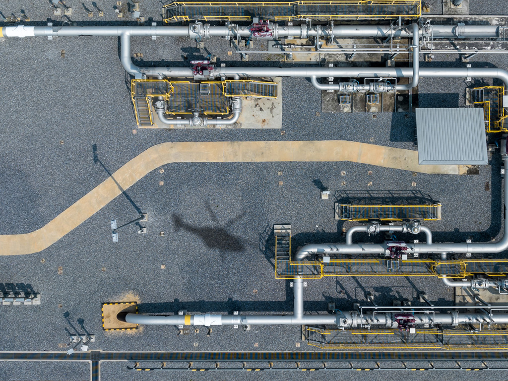
Yes, drone gas detection can find leaks on steep landfill edges. Airborne methane sensors using laser-based technology are capable of scanning near-vertical slopes, embankments, and irregular terrain that ground crews struggle to access safely or efficiently. The key is whether the system has sufficient sensitivity and the right flight parameters to detect diffuse emissions from complex surfaces. Below, we unpack how aerial landfill gas surveys work, what makes steep terrain challenging, and what operators receive from a completed inspection.
How does drone gas detection actually work on a landfill?
Drone and helicopter-based gas detection on landfills works by flying a laser sensor over the site at low altitude while continuously measuring methane concentrations in the air column below the aircraft. The sensor emits laser pulses at specific wavelengths that methane absorbs, and by comparing the returning signals, the system can pinpoint elevated gas concentrations with high spatial resolution across the entire landfill surface.
Unlike point-sampling instruments carried by ground technicians, airborne systems scan wide areas in a single pass. The aircraft follows a predefined flight path at a consistent altitude, typically between 100 and 150 meters above ground level, at speeds that allow thousands of measurement points to be captured per second. This produces a dense spatial dataset that maps gas concentrations across the landfill cap, drainage channels, access roads, and boundary slopes in a single survey session.
The approach is particularly well suited to landfills because methane migration is rarely confined to a single predictable point. Gas can escape through cracks in the cap, poorly sealed drainage penetrations, or areas where settlement has caused surface movement. A high-resolution aerial scan captures this diffuse emission pattern in a way that targeted ground sampling simply cannot replicate at scale.
What makes steep landfill edges difficult to inspect?
Steep landfill edges are difficult to inspect because ground-based technicians face direct physical access challenges on near-vertical or heavily vegetated slopes, and portable instruments must be held close to the surface to detect low-level emissions. On unstable or overgrown embankments, consistent coverage is rarely achievable, and safety constraints often force surveyors to skip the most problematic zones entirely.
Beyond access, steep edges create measurement inconsistencies. Wind behavior changes significantly on exposed slopes, dispersing gas plumes in unpredictable directions and reducing the concentration a ground-level instrument can detect at any given point. Surveyors working on foot may also introduce their own movement variability, making it hard to confirm whether a reading reflects actual leakage or instrument positioning.
From a regulatory standpoint, incomplete coverage of boundary slopes is a meaningful gap. Methane migration at landfill perimeters is a known risk, particularly on older sites where liner integrity may have degraded. Any LDAR survey that cannot reliably cover these zones leaves operators with unverified emission pathways and potential compliance exposure.
Can airborne methane sensors detect leaks on near-vertical slopes?
Yes, airborne methane sensors can detect leaks on near-vertical slopes, provided the system has high enough measurement sensitivity and the flight path is designed to bring the sensor within effective range of the slope face. Laser-based systems are not restricted by terrain gradient the way ground crews are, and a well-planned flight profile can position the sensor to capture gas rising from a steep embankment.
The practical consideration is altitude. On flat cap areas, the aircraft flies at a standard height above the surface. On steep edges, the effective distance between the sensor and the emission source depends on how close the flight path can approach the slope without safety restrictions. Systems with higher sensitivity thresholds can detect lower leak rates even at slightly greater distances, which becomes a meaningful advantage when surveying irregular terrain.
Wind conditions also influence detection on slopes. Emissions from a near-vertical surface tend to be carried laterally by prevailing winds rather than rising vertically, so the sensor needs to be positioned downwind to intercept the gas plume. Experienced operators account for this in flight planning, adjusting transect direction and altitude to maximize the probability of plume interception across all slope aspects.
How does aerial LDAR compare to ground-based surveys on uneven terrain?
Aerial LDAR outperforms ground-based surveys on uneven terrain in terms of coverage consistency, speed, and safety. Ground crews on irregular or steep surfaces cannot maintain consistent instrument-to-surface distances, face physical access limitations, and require significantly more time to cover the same area. Aerial systems maintain a controlled altitude profile regardless of surface gradient and complete wide-area surveys in a fraction of the time.
Ground-based surveys do offer advantages in specific situations. When a leak has already been localized and a technician needs to pinpoint the exact source for repair, close-proximity ground instruments provide the precision needed for that final step. The two approaches are therefore complementary rather than competing: aerial surveys identify where emissions are occurring across the full site, and ground crews follow up on confirmed indications.
For operators managing large or topographically complex landfills, relying solely on ground-based LDAR introduces coverage gaps that are difficult to audit or defend. Aerial surveys produce georeferenced datasets that document exactly which areas were covered and at what detection sensitivity, creating a defensible record for regulatory reporting.
What survey data do operators receive after a landfill gas inspection?
After an aerial landfill gas inspection, operators typically receive a georeferenced dataset showing methane concentration measurements mapped across the entire surveyed area, with flagged indications where readings exceed defined thresholds. This includes the spatial location of each measurement point, the recorded concentration level, and supporting metadata such as wind conditions and flight altitude at the time of measurement.
Results are usually delivered through a secure web-based GIS platform accessible on both desktop and mobile devices. This allows site managers and compliance teams to visualize gas indications in context, overlay them with site infrastructure maps, and prioritize repair or investigation activities based on the severity and location of each indication.
The dataset also supports measurement, reporting, and verification workflows. Operators can export results in formats compatible with regulatory submissions, and the documented survey methodology provides the third-party verification trail that regulators increasingly require. For landfill operators subject to EU methane reporting obligations, this structured output is a practical necessity, not just a convenience.
Does aerial landfill gas detection meet EU methane regulation requirements?
Aerial landfill gas detection can meet EU methane regulation requirements when the system used has the sensitivity and certification to satisfy the applicable technical standards. EU Regulation 2024/1787 requires operators to move from estimated emissions to measurement-based reporting, and aerial surveys that produce quantified, georeferenced methane measurements with documented methodology are designed to support exactly this shift.
The regulation distinguishes between equipment types and sets sensitivity thresholds accordingly. For underground and diffuse emission sources, which are common in landfill contexts, the required detection sensitivity is demanding. Systems that can reliably detect low leakage rates under real-world wind conditions are therefore better positioned to satisfy Type 2 requirements than general-purpose instruments with lower sensitivity floors.
Operators should also confirm that their chosen aerial survey provider can supply results in a format compatible with their MRV workflow and that the survey methodology is documented clearly enough to satisfy independent third-party verification. Certification of the detection system itself, not just the operator’s internal process, is increasingly relevant as regulators scrutinize the quality of measurement data submitted in annual reports.
How ADLARES supports landfill gas leak detection from the air
We at ADLARES provide aerial methane detection services specifically designed for complex sites, including landfills with steep edges, irregular caps, and diffuse emission profiles. Our CHARM® technology is the world’s only DVGW-approved airborne gas remote detection system, and it is built to deliver the sensitivity required to comply with EU Methane Regulation Type 2 standards for underground and diffuse emission sources.
Here is what we offer for landfill operators:
- High-sensitivity aerial scanning capable of detecting leakage rates from 150 l/h, covering steep slopes, cap surfaces, and boundary zones in a single survey
- Full-site coverage at speeds of up to 180 km/h, with 1,000 measurement points per second ensuring dense spatial resolution across the entire landfill footprint
- Georeferenced results delivered via a secure Web GIS platform, accessible on desktop and mobile, with data structured for regulatory reporting and third-party verification
- Compliance-ready documentation aligned with EU Regulation 2024/1787 MRV requirements, supporting your annual LDAR reporting obligations
- Over 250,000 km of pipeline and infrastructure inspected across Europe, with proven experience on landfill and surface area emission surveys
If your site includes terrain that ground crews cannot reliably cover, or if you need a defensible aerial dataset for your next regulatory submission, contact our team to discuss a tailored landfill gas survey.
Dieser Inhalt wurde mithilfe von KI erstellt und kann Fehler enthalten.