
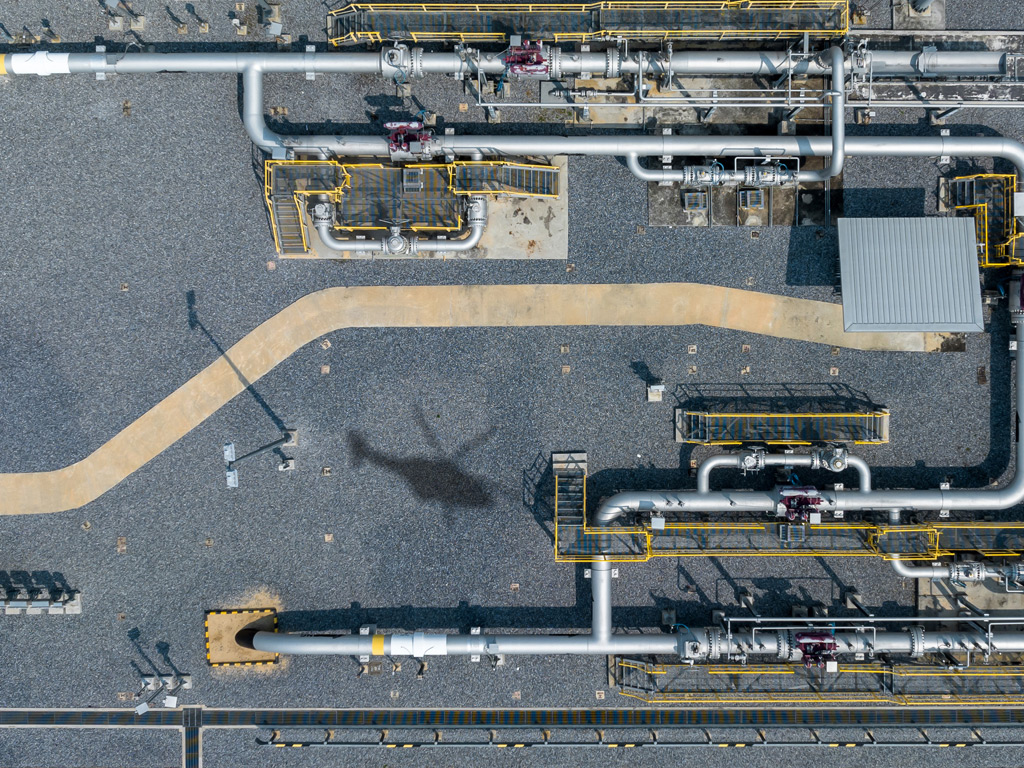
Surface area leak detection is a method of identifying gas leaks by scanning the ground surface above buried pipelines or infrastructure to detect methane that has migrated upward through the soil. It is one of the core survey techniques used in Leak Detection and Repair (LDAR) programs, designed to find leaks that are not visible at above-ground fittings or components. The sections below answer the most common questions about how it works, what equipment it requires, and when it is the right choice for gas operators.
How does surface area leak detection actually work?
Surface area leak detection works by measuring methane concentrations along or above the ground surface that overlies buried gas infrastructure. When a buried pipeline leaks, gas migrates upward through the soil and accumulates near the surface. Detection equipment measures these elevated methane concentrations to pinpoint the location and relative severity of the leak below.
In ground-based surveys, technicians walk or drive along the pipeline route with handheld or vehicle-mounted sensors, sampling the air close to the soil surface. In airborne surveys, a helicopter or aircraft flies at low altitude along the pipeline corridor, using laser-based sensors to detect methane columns in the air between the aircraft and the ground. Both approaches rely on the same principle: methane escaping from a buried leak creates a detectable concentration gradient at the surface.
The data collected during a surface area survey is typically geo-referenced, meaning each measurement is linked to a specific GPS coordinate. This allows operators to map indications precisely and prioritize repair work based on location and concentration levels.
What types of equipment are used in surface area leak detection?
Surface area leak detection uses a range of sensor technologies, from simple flame ionization detectors carried on foot to sophisticated laser systems mounted on aircraft. The choice of equipment depends on the survey area, required sensitivity, and whether the inspection is ground-based or airborne.
Ground-based equipment
Ground-level surveys typically use portable gas analyzers, including flame ionization detectors (FID) and catalytic combustion sensors, as well as vehicle-mounted systems that continuously sample roadside air. These tools are effective for detailed inspections of specific segments but are slow over long distances and depend heavily on favorable wind and soil conditions for gas migration.
Airborne laser systems
Airborne surface area detection uses laser-based remote sensing, most notably Differential Absorption LIDAR (DIAL). This technology emits laser pulses at two different wavelengths, one absorbed by methane and one not, and measures the difference in reflected light to calculate methane column concentrations. This approach covers large areas rapidly and does not require direct contact with the ground surface, making it well suited for pipeline leak detection across extensive networks.
How sensitive does surface area leak detection need to be?
The required sensitivity for surface area leak detection depends on the regulatory framework and the type of infrastructure being inspected. For underground equipment covered by EU Methane Regulation Type 2 requirements, detection systems must be capable of identifying very small leakage rates under realistic field conditions, including wind and variable soil permeability.
Industry experience shows that higher sensitivity matters most for buried infrastructure, where gas must travel through soil before reaching the surface, which significantly dilutes concentrations. A system that can only detect large leaks at close range will miss the smaller, chronic emissions that regulators increasingly require operators to find and report. For compliance purposes, sensitivity thresholds are not just a technical specification but a legal requirement, and choosing equipment that falls short can expose operators to regulatory risk.
What’s the difference between surface area leak detection and other LDAR methods?
Surface area leak detection differs from other LDAR methods primarily in what it targets and how it scans. While component-level inspection methods such as optical gas imaging (OGI) or contact measurement focus on above-ground fittings, valves, and connections, surface area detection is specifically designed to find leaks from buried infrastructure by scanning the ground above it.
Other key distinctions include:
- Coverage area: Surface area methods, especially airborne ones, cover entire pipeline corridors in a single pass, while component-level methods require technicians to inspect individual fittings one by one.
- Leak source: Surface area detection targets diffuse emissions migrating through soil, while component methods target discrete emission points at accessible equipment.
- Regulatory category: Under EU Methane Regulation 2024/1787, different equipment types fall into different survey categories (Type 1 and Type 2), and surface area detection specifically addresses Type 2 requirements for underground components.
- Speed: Airborne surface area detection can survey hundreds of kilometers per day, far exceeding what ground-based or component-level methods can achieve at scale.
Many operators use surface area detection alongside component-level methods as part of a comprehensive LDAR program, using aerial surveys to screen large networks quickly and ground teams to follow up on flagged locations.
Does surface area leak detection meet EU Methane Regulation requirements?
Yes, surface area leak detection is a recognized method under EU Regulation 2024/1787, specifically for inspecting underground equipment classified as Type 2 components. However, not all surface area detection systems meet the regulation’s sensitivity thresholds. The regulation requires that detection systems used for Type 2 surveys are capable of identifying leaks at levels consistent with the technical standards referenced in the regulation.
Operators should verify that any system they commission holds appropriate technical certification and can demonstrate compliance with the required detection limits under field conditions. Survey results must also be documented and reported in a format compatible with the regulation’s measurement, reporting, and verification (MRV) obligations, which means geo-referenced data and structured reporting outputs are essential. Operators can find further detail on regulatory obligations in our overview of airborne gas detection services.
When should gas operators choose airborne surface area detection?
Gas operators should choose airborne surface area leak detection when they need to survey long pipeline corridors quickly, when ground access is limited, or when regulatory deadlines require rapid coverage of large network segments. It is particularly well suited to transmission pipelines and distribution networks that span hundreds or thousands of kilometers.
Airborne detection is also the preferred approach when:
- The pipeline runs through areas that are difficult or hazardous to access on foot or by vehicle, such as wetlands, agricultural land, or dense urban environments.
- Operators need a baseline emissions survey to establish measurement-based reporting under the EU Methane Regulation.
- Annual LDAR survey cycles require consistent, repeatable results across a defined network to demonstrate year-on-year performance.
- A rapid screening pass is needed to prioritize which segments require more detailed ground-level follow-up.
Ground-based surface area methods remain useful for targeted reinspection of flagged locations or for segments where airborne access is restricted, but for network-wide compliance surveys, airborne detection offers a clear advantage in speed, coverage, and data quality.
How ADLARES helps with surface area leak detection
We provide certified airborne surface area leak detection services across Europe using our CHARM® technology, the world’s only DVGW-approved airborne gas remote detection system. CHARM® uses the Differential Absorption LIDAR (DIAL) method to detect methane from a helicopter flying at up to 180 km/h, covering large pipeline networks rapidly while delivering the sensitivity required to meet EU Methane Regulation Type 2 standards for underground equipment.
Here is what working with us looks like in practice:
- High sensitivity detection: CHARM® can register leakage rates as low as 150 l/h at wind speeds of up to 24 km/h, meeting the thresholds required for regulatory compliance.
- Rapid wide-area coverage: With a measuring rate of 1,000 points per second and survey speeds of up to 180 km/h, we can inspect large network segments within tight operational windows.
- Geo-referenced results: All survey data is delivered via a secure Web GIS platform, accessible on desktop and mobile, making it straightforward to verify indications and coordinate repair teams.
- Proven track record: Over 250,000 km of gas pipelines have been inspected using CHARM® across Europe, giving grid operators a reliable, audit-ready inspection record.
- Regulatory alignment: Our survey methodology and reporting outputs are designed to support MRV obligations under EU Regulation 2024/1787, helping compliance managers meet annual reporting deadlines with confidence.
If you are planning your next LDAR survey cycle or need to establish a measurement-based baseline under the EU Methane Regulation, get in touch with our team to discuss how we can support your compliance program.
Dieser Inhalt wurde mithilfe von KI erstellt und kann Fehler enthalten.