
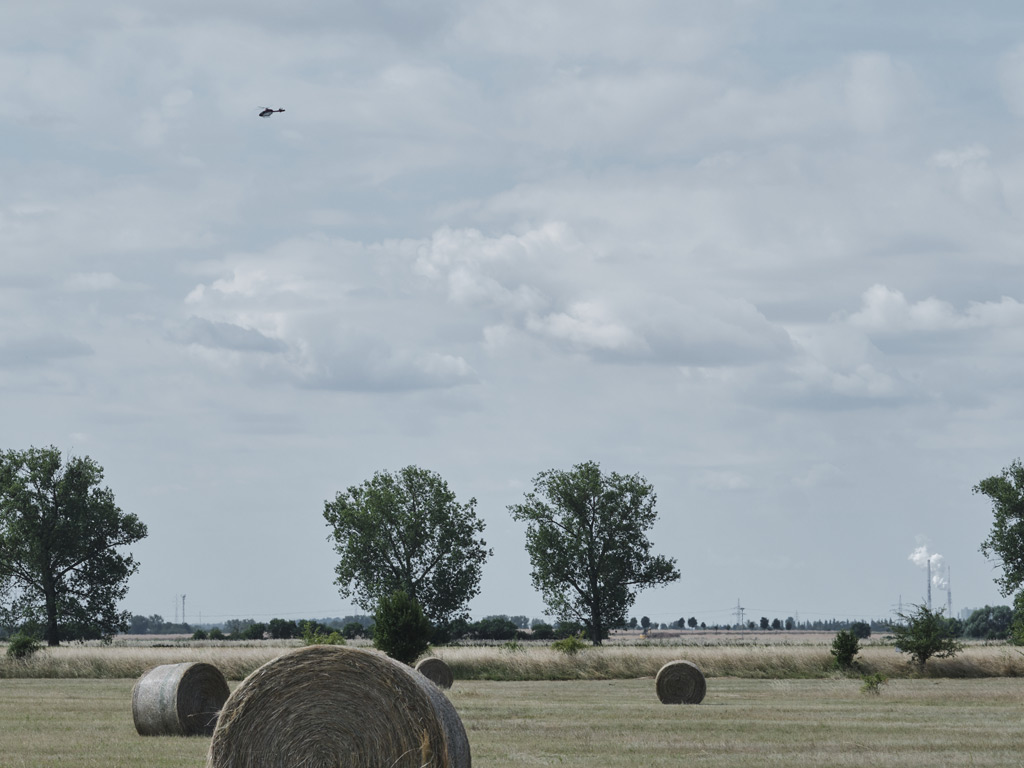
Methane is invisible, odourless in its pure form, and can escape from underground pipelines across hundreds of kilometres of remote terrain. Detecting those leaks quickly and reliably is one of the most pressing challenges facing gas grid operators today, especially as European regulations tighten around emissions monitoring. Airborne methane remote detection offers a fundamentally different approach to this problem: instead of walking every metre of a pipeline with a handheld probe, a helicopter-mounted laser system scans the entire corridor from above at high speed. This article explains how the technology works, what it can inspect, how accurate it is, and how survey results are turned into actionable repair decisions.
What is airborne methane remote detection?
Airborne methane remote detection is a method of identifying gas leaks and emissions from a helicopter or aircraft using laser-based sensing technology, without any physical contact with the pipeline or the ground surface. The system measures methane concentrations in the air column between the aircraft and the ground, building up a dense map of readings across the entire pipeline corridor during a single overflight.
This approach is fundamentally different from traditional on-foot surveys, where a technician walks the pipeline route holding a probe close to the ground. Airborne detection trades proximity for speed and coverage. A helicopter can inspect up to 165 km/h, making it genuinely cost-competitive for long rural transmission corridors and connection networks where walking every metre would take weeks. The trade-off is that the system must be extraordinarily sensitive to detect the diluted concentrations of methane that reach aircraft altitude after escaping from an underground leak.
Modern airborne methane detection is not simply a single string of measurements along the pipe centreline. Research from institutions including METEC (Methane Emissions Technology Evaluation Center) and the Engler-Bunte Institute shows that underground gas plumes widen before reaching the surface, meaning the leak location on the ground is not always directly above the pipe defect. Reliable detection therefore requires a grid of measurement points covering at least 10 metres on either side of the pipeline centreline, with spatial resolution better than 2 metres, so that widened plumes are captured wherever they emerge.
How does the DIAL method detect gas from the air?
The core physics behind airborne gas leak detection is Differential Absorption LIDAR, universally abbreviated as DIAL. LIDAR stands for Light Detection and Ranging, and the differential absorption principle exploits the fact that methane molecules absorb laser light strongly at certain wavelengths and weakly at others.
The system fires two laser pulses in rapid succession. One pulse is tuned to a wavelength that methane absorbs strongly (the „on“ wavelength, in the 3.3 µm mid-infrared range). The second pulse is tuned to a nearby wavelength where methane absorption is negligible (the „off“ wavelength). Both pulses travel down to the ground surface and reflect back to the detector on the helicopter. By comparing the return intensity of the two pulses, the system calculates precisely how much methane is present in the air column the laser beams passed through. If methane is leaking from the ground below, the „on“ wavelength return is measurably weaker than the „off“ wavelength return, and the system registers a positive detection.
The elegance of DIAL is that it is self-referencing. Atmospheric conditions, surface reflectivity, and flight altitude all affect both pulses equally, so their ratio cancels out most sources of interference. This allows the system to achieve extremely low detection limits, below 1 ppm·m per individual measurement point, even from altitudes of 100 to 180 metres. The measurement unit ppm·m (parts per million metres) expresses the product of concentration and path length, which is the physically meaningful quantity for a column-integrated measurement.
How does a helicopter gas survey actually work?
A helicopter gas survey begins with flight planning that maps the pipeline route and defines the scan corridor. The helicopter typically flies at an altitude of 100 to 150 metres above ground level and at speeds of up to 165 km/h, following the pipeline centreline as closely as possible. The laser scanner mounted on the helicopter is not fixed: active tracking optics continuously compensate for the aircraft’s roll and lateral drift, keeping the scan swath aligned with the pipeline to within 0.5 metres of the centreline.
During the overflight, the system captures 1,000 measurement points per second. The scan swath covers a strip 24 to 25 metres wide centred on the pipeline, providing the measurement grid density that research has shown is necessary for reliable plume capture. Each measurement point is geo-referenced with GPS coordinates, so every reading is precisely located in space.
After the flight, the raw data is processed to identify anomalies: locations where methane column concentrations exceed the background level by a statistically significant margin. Verified anomaly locations are then reported to the pipeline operator with GPS coordinates, so that ground teams can go directly to the relevant zones for Step 2 source confirmation. This two-step approach, where the aerial survey performs Stage 1 surface screening and ground teams perform Stage 2 source confirmation through bar-hole drilling or excavation, is the framework defined by the EU Methane Regulation. The aerial survey dramatically reduces the total route length that ground teams need to inspect on foot, concentrating their effort on prioritised anomaly zones only.
Wind conditions matter during a survey. Methane is rapidly diluted and carried horizontally once it reaches the open air, so surveys are conducted within defined wind speed limits. Certified systems are tested to perform reliably at wind speeds up to 24 km/h, ensuring that findings are reproducible across different survey days and conditions.
What types of gas infrastructure can be inspected from the air?
Airborne remote sensing is well suited to any gas infrastructure that spans significant distances or covers large areas. The most common application is pipeline inspection, particularly for high-pressure transmission pipelines running through rural and semi-rural terrain, where the speed advantage of aerial inspection is most pronounced. Both steel and plastic pipelines can be surveyed, as the detection target is the methane in the air above the pipeline rather than the pipe material itself.
Beyond linear pipelines, airborne LIDAR methane sensing is also applied to:
- Compressor stations and metering stations, where multiple above-ground components can be screened for fugitive emissions in a single overflight
- Underground gas storage facilities, where the survey can map emission patterns across the entire site footprint
- Landfills, where methane generated by decomposing waste can be quantified across large, irregular surface areas
- Distribution networks, particularly connection pipelines between transmission grids and local distribution grids
The technology is less suited to the dense urban last-mile distribution grid, where narrow streets, buildings, and other infrastructure make helicopter access impractical and where on-foot or vehicle-based surveys with close-proximity probes are more appropriate. Aerial and ground-based inspection methods are therefore complementary rather than competing approaches, each best matched to the type of infrastructure and terrain it covers. You can learn more about the full range of inspection applications on the ADLARES services page.
How accurate is airborne methane detection compared to ground methods?
Comparing aerial and ground-based methods requires understanding that they measure different things. A handheld probe held close to the ground surface can achieve sensitivities in the range of 0.5 to 1 ppm because it is operating in close proximity to the source. An airborne system at 100 to 150 metres altitude is measuring a diluted column of air, so the relevant performance metric is not the same.
The meaningful benchmark for aerial systems is the ground-level methane concentration they can reliably detect. Independent certification by the DVGW Research Centre, conducted under the DVGW G465-4-5 standard (formerly G501), establishes that a properly certified aerial system must reliably detect ground-level concentrations of 300 ppm in a 2 by 2 metre area under all certified flight altitudes and allowable wind conditions. This threshold is physically grounded: at the smallest physically possible leak in high-pressure stainless steel pipes above 5 bar, approximately 300 ppm was measured directly above the pipeline route during certification testing. Applying a 2 ppm sensitivity benchmark to aerial systems confuses the instrument’s theoretical detection floor with real-world detection capability at altitude.
In terms of minimum detectable leak rate, independently certified aerial systems have demonstrated detection of leaks as small as approximately 110 g/h (around 150 litres per hour) under real operating conditions, not laboratory conditions. This is a meaningful performance level for high-pressure transmission infrastructure, where the EU Methane Regulation’s two-step LDAR framework sets the repair trigger at the source confirmation stage.
Geo-referencing accuracy is another important dimension. Certified airborne systems maintain pipeline tracking within 0.5 metres of the centreline and achieve overall geo-referenced localisation of findings better than 2 metres. This precision means ground teams can locate anomaly zones quickly without extensive searching.
How are airborne gas survey results reported and used?
The output of an airborne methane survey is not simply a list of coordinates. Processed survey data is typically delivered through a secure Web GIS platform, accessible on both desktop and mobile devices, which allows pipeline operators and their field teams to visualise the full survey dataset in geographic context. Each anomaly is presented as a GPS-tagged finding with associated concentration data, flight parameters, and supporting information that helps the operator assess priority.
The reporting structure supports the regulatory two-step LDAR workflow directly. Stage 1 aerial findings are documented in a format that can trigger Stage 2 ground investigation, with the anomaly report providing the location precision needed for bar-hole drilling or excavation. Under Article 14(8) of the EU Methane Regulation, the repair obligation is triggered only at Stage 2, when direct source measurement confirms the emission rate meets the threshold at the source. The aerial survey therefore functions as an efficient triage tool: it identifies where ground resources should be deployed, rather than replacing ground investigation entirely.
For compliance and reporting purposes, survey results can also feed into LDAR programme documentation, supporting operators‘ obligations under the EU Methane Regulation reporting framework, including OGMP 2.0 Level 5 requirements for source-level quantification. The combination of high spatial resolution, precise geo-referencing, and structured reporting makes airborne remote methane sensing a practical tool not just for leak detection but for ongoing emissions management across large grid networks.
How ADLARES helps with airborne methane detection
We at ADLARES have been providing certified airborne methane detection services since 2008, and to date we have inspected over 250,000 km of gas pipelines across Europe. Our CHARM® technology is the world’s only DVGW-approved aerial gas remote detection system, certified under DVGW G465-4-5 and Type-2 compliant under EU Methane Regulation 2024/1787. Here is what working with us looks like in practice:
- Full-service inspection: We handle everything from flight planning and helicopter operations (in cooperation with aviation partner Air Lloyd) to data processing, anomaly analysis, and delivery of results via our secure Web GIS platform.
- Certified performance: Our CHARM® system achieves a detection limit below 1 ppm·m per measurement point, a verified surface sensitivity of 300 ppm over a 2 by 2 metre area, and a minimum detectable leak rate of approximately 110 g/h under real operating conditions.
- Wide scan coverage: Our 24 to 25 metre scan swath covers the full measurement grid required for reliable underground plume detection, not just a single line along the pipe centreline.
- Regulatory alignment: Our survey methodology and reporting directly support the EU Methane Regulation two-step LDAR framework, making it straightforward for operators to use our findings for compliance documentation.
- Flexible scope: We inspect transmission pipelines, distribution connection networks, compressor and metering stations, storage facilities, and landfills across Europe.
If you are responsible for a gas grid and want to understand how airborne inspection can fit into your LDAR programme, we would be glad to discuss your network and requirements. Get in touch with our team to arrange a consultation or request a survey proposal.
Dieser Inhalt wurde mithilfe von KI erstellt und kann Fehler enthalten.